Reflections on the Trans Canada Trail in Nova Scotia
Hiking the Trans Canada Trail in Nova Scotia

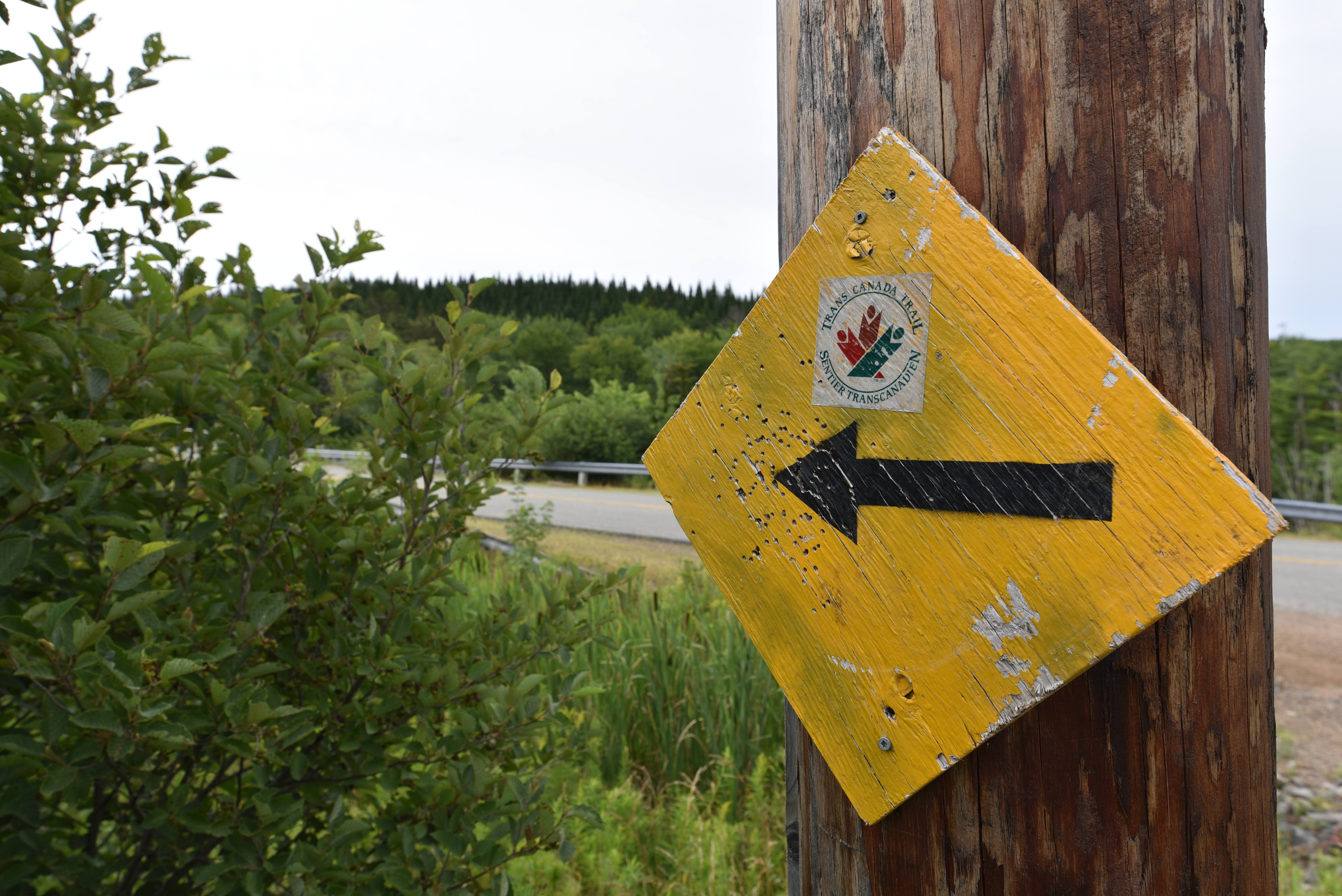
The moment we crossed the Canso Causeway from Cape Breton Island to mainland Nova Scotia we could tell a change had occurred in the nature of the Great Trail. The sections of trail in Nova Scotia are absolutely gorgeous, and they represent huge potential for a system of world-class hiking and biking opportunities across the province. However, there are still relatively large and undeveloped gaps between the trail sections which need to be connected in order to get hikers and bicyclists off busy roads and highways. Hopefully, the enthusiastic, dedicated, and passionate volunteers who are working hard to make this happen will get the support and resources they need to make this dream a reality!

After crossing the Canso Causeway in Port Hastings, we walked 67 km of roadway to the community of Guysborough, with one very small exception. The first 8 km of the Great Trail climbed up to the town of Mulgrave along the highway, past a large and active quarry. In Mulgrave, the short but beautiful Scotia Trail, which was treed and very well equipped with benches and interpretive signs, took us along the Canso Strait. From this vantage point, we enjoyed views across the strait back to Port Hawksbury.


The road to Guysborough was mostly a two-lane highway with a grassy shoulder and not too much traffic. The winding road took us through rolling, forested hills, agricultural landscapes with fields of freshly mowed hay and picturesque barns, and through many small communities. Although beautiful, it was a very hot walk, and the roadside shoulder offered no shade, no water, and few opportunities to stop or rest. In this stretch, we found a secluded spot to camp on the side of the road near Collins Pond, and another one in the beautiful Boyleston Provincial Park.
The prosperous community of Guysborough boasted a bakery, theatre, museum, distillery, upscale restaurant, many heritage buildings, and the Rare Bird Brewery. It also had a grocery store for resupply, which we made good use of.

We camped in the Ogden Round Lake Wilderness area, which was a serene and peaceful forest complete with a lovely river, several mossy waterfalls, and a beautiful lake. Here we went almost entirely undisturbed throughout our two days in the region.
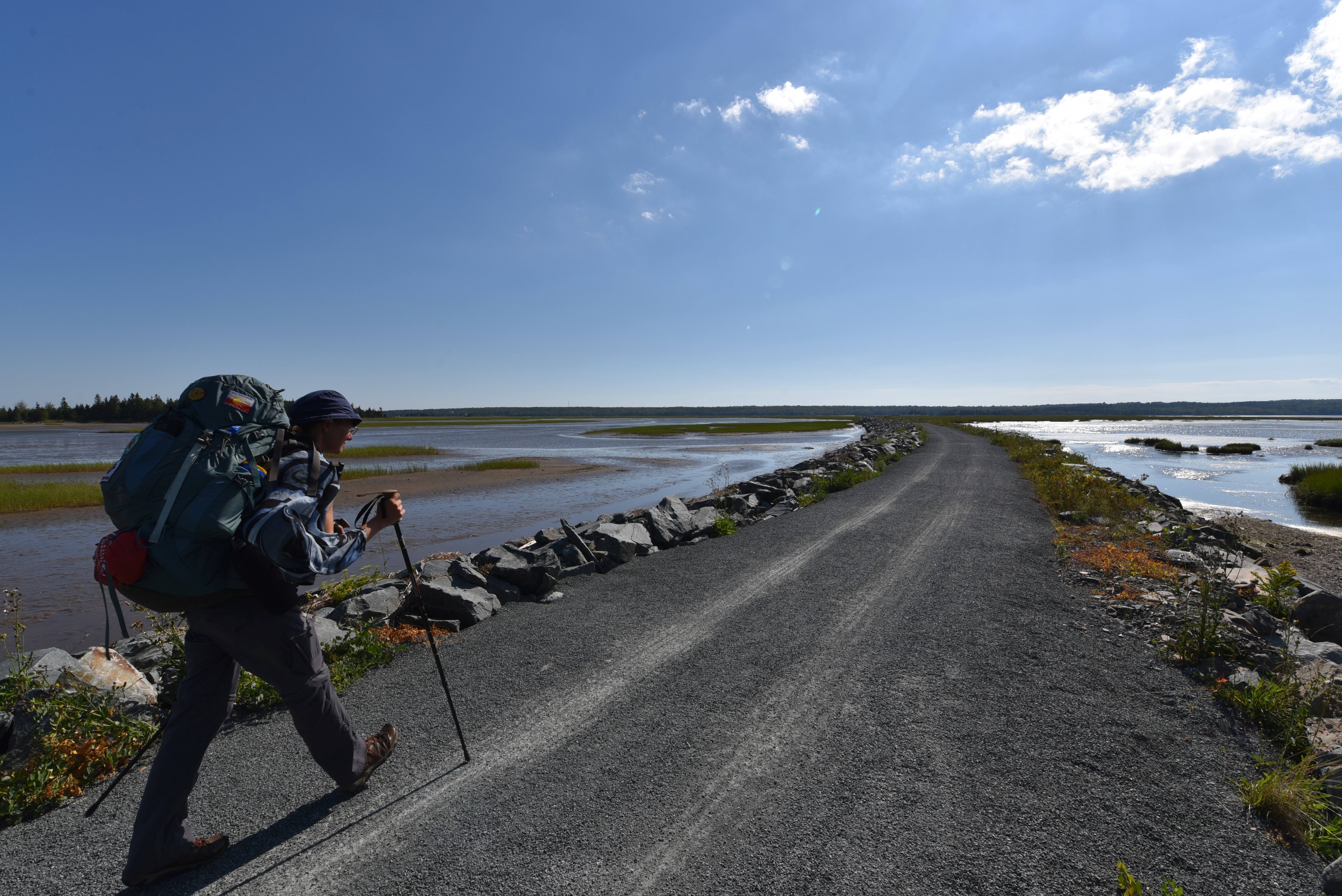
After leaving the wilderness area, the trail transitioned to the Guysborough Rail Trail, which was a more exposed section that took us through recently logged areas, as well as an active logging operation – both of which had utterly removed all trail markings and at times, evidence of a pathway. Once past the broken and rutted section of trail, we enjoyed a walk over trestle bridges and along the shores of Eden Lake, with its upscale cottages. As a result of local land ownership throughout the region, both camping as well as the ability to get water to purify and drink were made much more difficult.

During the run-up to Sunnybrae, we saw and heard lots of evidence of wildlife. While camping near the community of Cross Roads Country Harbour, we also heard a very active pack of coyotes howling and yipping for much of the night, and we saw lots of paw prints in the dried mud of the trail bed, including Black Bear, Coyote, White-tailed Deer, Muskrat, and possibly Bobcat.
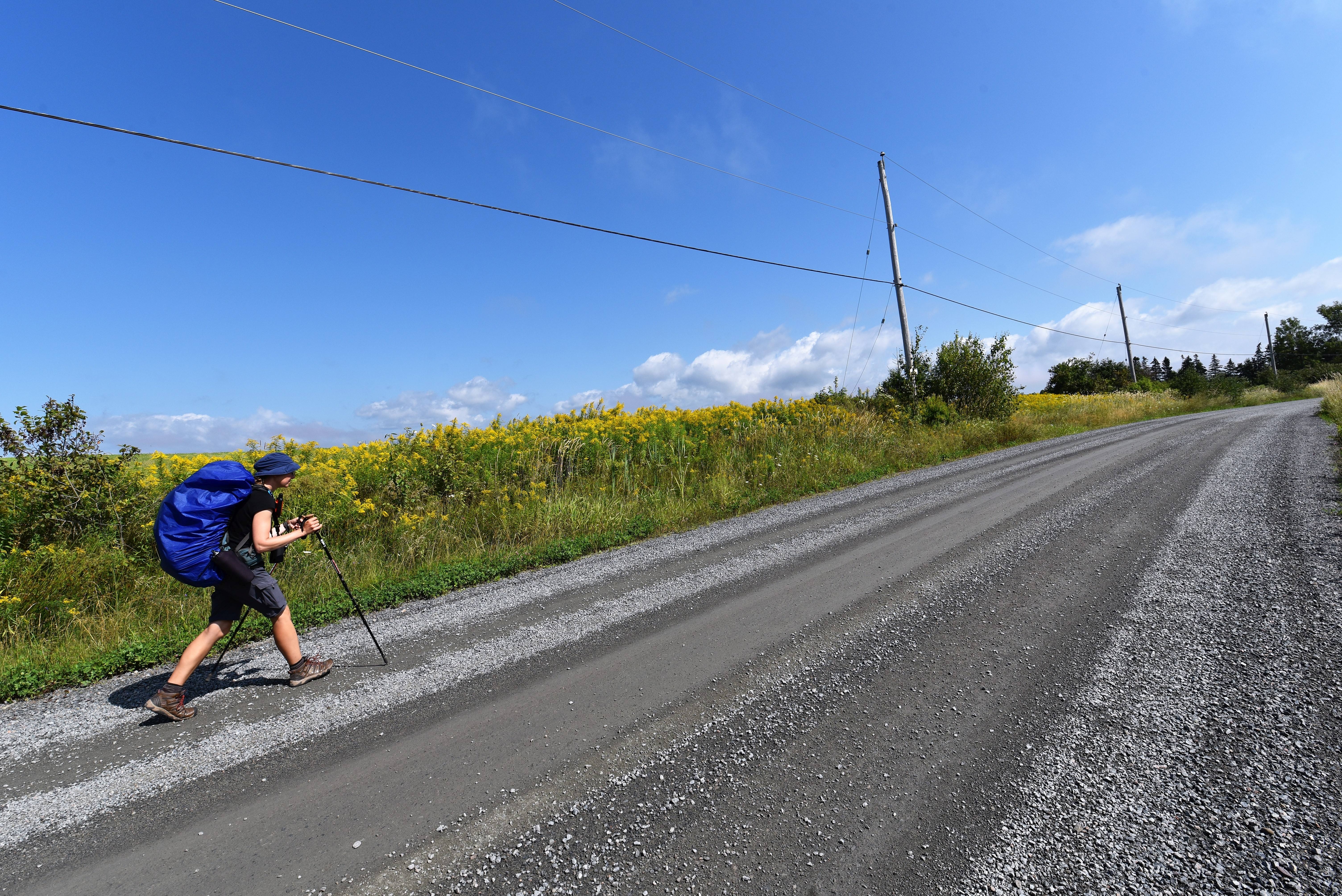
This section of the trail was a bit of a challenge because we lost cell service, the Great Trail App wasn't working, there were no trail markers to guide us through the network of snowmobile trails, it was very hot, and we were beset by swarms of vicious deer flies. On top of it, the trail just before Sunnybrae was probably the least well-maintained section we've come across yet. In parts, it was just an overgrown, grassy track broken up and obscured by large patches of deep muddy washouts. However, we made it through the 136 km of trail between the resupply points with only minor setbacks and arrived in New Glasgow tired after an additional 20 km section of road walking, but triumphant.
The Great Trail is a waterway between New Glasgow and Pictou, but where it picks up in Pictou on the Jitney Connector Trail, it is again a joy to hike. This trail is a gorgeous, flat, pea gravel track through a shaded, treed corridor. It even took us past a fantastic bakery in Scotsburn!
We left this idyllic trail at the Southerland Steam Mill Museum and turned south towards Halifax. There followed a 17 km section of road walking along a busy, winding road with a very small shoulder. Amplifying this challenge, several teens driving took it as sport to swerve their cars at us as they passed, making for an unnerving afternoon’s walk. Adding to this, there were lots of large trucks, construction vehicles, and commuters heading to Truro or beyond for work. The highlights of this section included a visit to the Earltown General Store and a 1 km detour to the Sugar Moon Farm for a birthday breakfast for Sean.

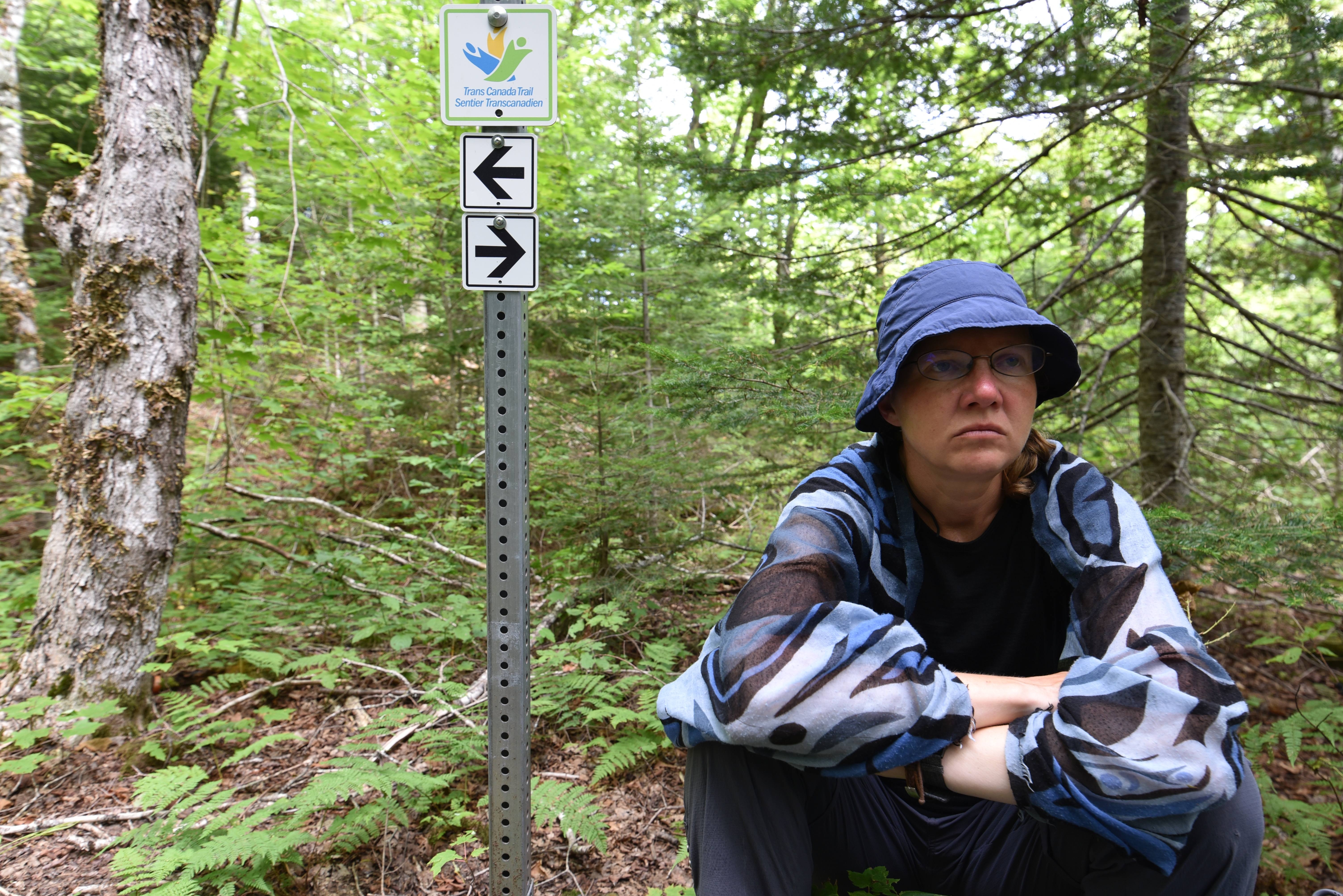
The Earltown Lakes and Portage and the Gully Lake Wilderness Area provided a refreshing change from the hot road walking. A footpath took us through tall, shady forests with a healthy under-story of ferns and young saplings. At times, the trail was vastly overgrown, and the walking tough, but the paths were very clearly blazed, and all the turns were well marked. We skirted the serene and beautiful Earltown and Gully Lakes and camped beside Meguma Falls. This was truly a peaceful and beautiful spot, complete with fireflies and the calls of a Great Horned Owl at dusk!

After the Gully Lake Wilderness Area, it was a long, hot, shadeless walk along the highway into Truro. Here we faced a new and unexpected problem. This summer has been so dry that most of the river tributaries are empty, but here the larger rivers were all affected by the huge Tidal Bores in the Bay of Fundy, and they were partially saline! The result of this situation was twofold: first, that we unknowingly contaminated our Sawyer water filter, and second, this meant that we did not have any drinking water throughout much of the day.
In Truro, we took a day to rest, recuperate, resupply, and visit the famous Tidal Bore. The tides in the Bay of Fundy are the highest in the world, and the Tidal Bore occurs when the water from the ocean rushes up the river in a wave, effectively reversing the direction of the river's flow. It is quite something, and the twice-daily phenomenon draws quite a crowd.
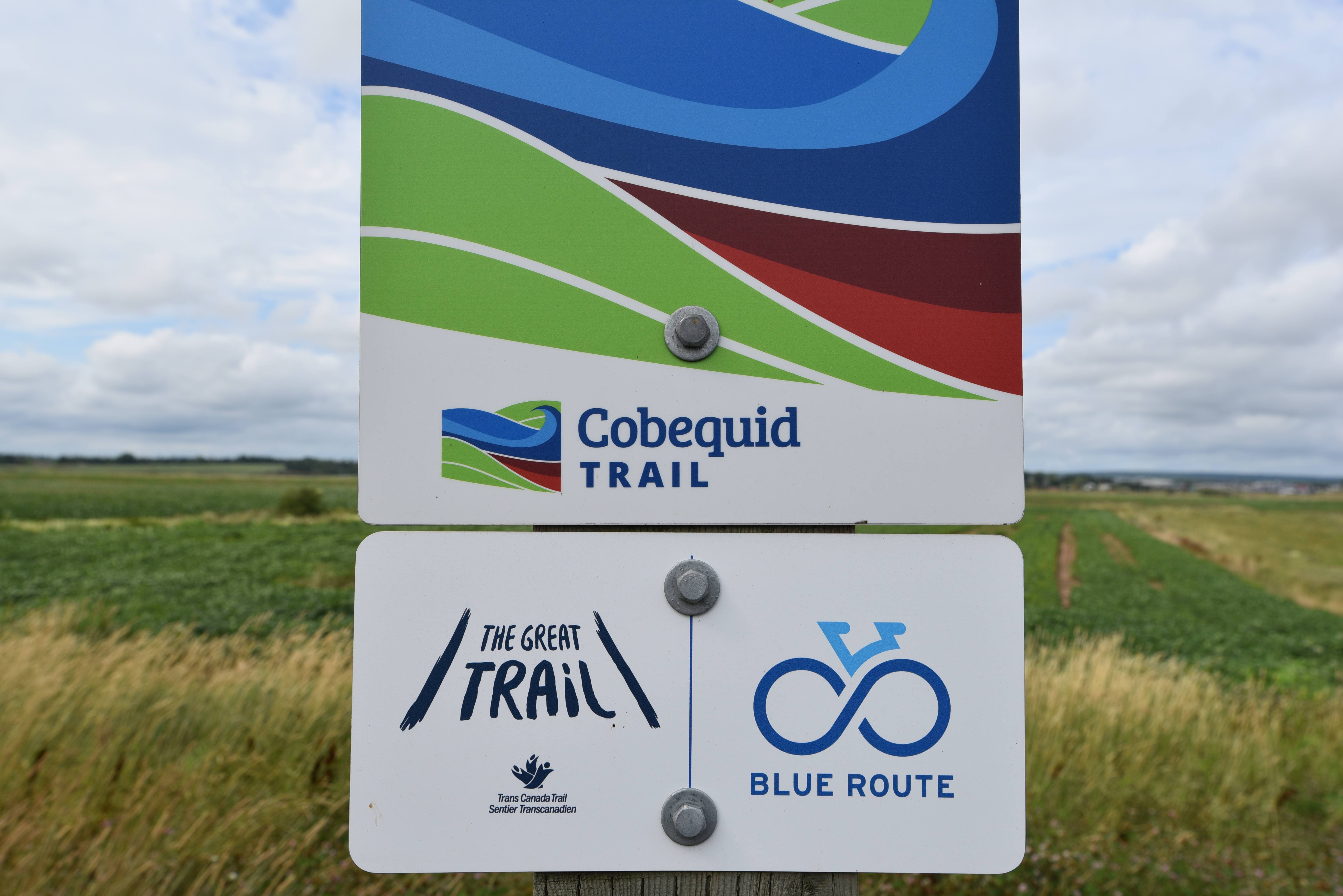
We left Truro on the Cobequid Trail, which was another gorgeous section of pathway that provided beautiful views out over the tidal mudflats of Cobequid Bay.
From Old Barns to Stewiacke was 41 km of road walking. Although we were quite fed up with walking highways in the sweltering August sun by this point, we realized that the spur down to Halifax gave us a chance to see the rural Maritimes and Acadian landscape, with its rolling blond hay fields, blue skies, and rustic red barns, that the previous sections of forested trail did not. The peaceful pastoral landscape of the Acadian coast was indeed very beautiful.
The Great Trail then followed the Shubenacadie River for 35 km from Stewiacke to Lanz, so we walked around this waterway on country roads. We made a stop at the Shubenacadie Provincial Wildlife Park along the way. This park represents a partnership between Ducks Unlimited and the Department of Natural Resources, and it offers visitors the chance to observe local wildlife, a few exotic species, and to learn about wetlands.

Continuing onward, the Mastodon Trail provides a short 4 km respite from road walking along a beautiful trail that offers views out over the world's largest open-pit gypsum mine. The remains of an 80,000-year-old mastodon were discovered in the mine, which is where the trail gets its name.
From Carroll's Corners to Meagre's Grant is another 30 km of road walking through forested and rural landscapes. We could tell we were in the suburbs of Halifax by this point, both from the airplane traffic overhead, the increasing density and affluence of the houses, and the busier roads.


Once we reached the Musquodoboit Trailway just after Meaghers Grant, the next 80 km into Halifax were a pleasure to walk. The Musquodoboit Trail was a beautiful, flat, treed trail that followed beside the Musquodoboit River, offering beautiful views of lakes, marshes, and streams. It also provided an opportunity to take offshoot wilderness footpaths up a rocky escarpment to enjoy views out over the landscape. Resupply was possible in Musquodoboit Harbour, Gaetz Brook, and Head of Chezzetcook, although wild camping was a bit difficult as this area is essentially part of the suburbs of Dartmouth. An additional problem was a decided lack of fresh water.
As we headed south from Head of Chezzetcook on the Blueberry Run trail, we witnessed some trail construction and improvements being made to this already gorgeous section of trail. We were also lucky enough to meet with two trail organizations and learn about how the trail in Nova Scotia is being built by volunteers.
The Atlantic View Trail took us right along the grassy sand dunes on the shore of the Atlantic. In fact, we crossed right through a popular surf beach, which was very busy due to large waves brought by tropical storm Erin. We also made a stop at the famous Hope for Wildlife Rehabilitation Center.
After that, the Salt Marsh trail took us over a causeway in the middle of a beautiful Salt Marsh. The view over the mud flats was fantastic, and we enjoyed some fantastic birding! This was an easy walking trail, and it was well used by local hikers and cyclists.
The final stretch of trail into Dartmouth was similarly flat, smooth, shaded, and well used. It seemed to fly past as we made our way through a forested section, past a CN rail yard filled with brand new cars, past an industrial area with Imperial Oil storage tanks, and down to the beautiful Dartmouth Waterfront Trail, which offered a panoramic view of Halifax across the harbour. As we approached the Alderney Ferry for the final section into Halfiax, we could hear the sounds of music floating across the water from the Mosaic Festival of Arts and Culture. Ending our hike in Nova Scotia's capital city was a great feeling!
Ultimately, we have to say that Nova Scotia's Hiking Trails are awesome! The Celtic Shores, Cobequid Trail, Jitney Trail, Musquodoboit Trail, Salt Marsh and Atlantic Sea View are all amazing - mostly (if not entirely) because of the great work done by tireless local volunteers who have planned, developed and continue to care for them. Perhaps the greatest challenge hiking across Nova Scotia is the long road connectors between these great trail systems. This means that there is such potential in NS for a complete hike system at one point, but it also means that there is a long way to go, and it needs more local and national support to get there. Regardless, a huge thanks from us to all the volunteers who have done so much to allow so many people to explore and love the province!
As of tomorrow, Farewell to Nova Scotia, hello to Prince Edward Island, as we continue westward!

Trans Canada Trail in Nova Scotia
For More Information about the Trans Canada Trail in Nova Scotia, check out:
Can You Cycle the Trans Canada Trail in Nova Scotia?
For Those Who Come Next: Itinerary for Walking the Trans Canada Trail in Nova Scotia
See you on the trail!
Remember to follow our entire adventure here : www.comewalkwithus.online
Comments
Post a Comment