Newfoundland at the Halfway Point

Halfway Through Our First Province on an adventure across Canada that is just beginning!
It has been 22 days since we began our #hike4birds across Canada on the Great Trail to connect youth to nature through birding, and today we reached the official halfway point across our first province - Newfoundland! There is no marker, but somewhere between the towns of Bishop's Falls and Grand Falls - Windsor, Newfoundland we crossed the line - we have now hiked 450.5 km and have 436.4 km to before we reach Port-aux-Basque. Woot woot!

Since leaving Clarenville, which was roughly a quarter of the way across the province, we've seen moose, beavers, Arctic Hares, and several frog species, and the list of bird species we've seen has grown to 71. The leaves have sprouted on the trees, and as of the second week June the wildflowers are in full bloom. Apart from the swarms of blood-sucking blackflies and mosquitoes, it has been a great adventure so far!

After leaving Clarenville the landscape began to change from predominantly coniferous forests to a mix of coniferous and deciduous trees. This brought with it a wider variety of birds, including Ovenbirds, Wood Thrush, and American Redstarts. The geology of the island also began to subtly change, bringing with it golden sand dunes and some interesting rock formations.


When we reached Thorburn Lake we encountered a new challenge on the trail. This large and gorgeous lake was unexpectedly full of high-end cottages, many with private docks and boathouses, and few with float planes. Until this point many of the lakes we'd passed were sparsely developed, with only a few cottages or cabins scattered around the edges. This more developed area made finding a place to wild camp a little more difficult than expected. The next few days we passed through some beautiful cottage country, and although we always managed to find excellent spots to pitch our tent, we had to plan our stopping points a little more carefully.
One of the high points of this section occurred when the trail took us between Terra Nova National Park, which has many interesting geological features, a bird sanctuary, and a campground, and the Bay du Nord Wilderness Preserve, which is home to one of Newfoundland's largest caribou herds. There was a good chance of spotting Willow and Rock Ptarmigan in his stretch, which are two bird species associated with the Arctic Tundra, as well as caribou. Although we didn't have much luck with the wildlife, we had fun looking, and we did spot some very fresh caribou tracks!

The next day was one of our favourites, because as we headed to the small community of Port Blandford, we passed many spectacular waterfalls along the way. That night we stayed in a warm-up shelter for snowmobilers. This small cabin was equipped with a picnic table, a wood stove, and a supply of firewood. We fell asleep on the floor, warm and cozy under the light of a bright quarter moon, listening to the sound of a log crackling in the stove and a Great Horned Owl hooting outside.

After that we enjoyed a couple days hike through stunningly beautiful scenery to the community of Gambo. At the edge of town we stopped at Cashin's Chestnut Tree Cafe, where we enjoyed one of the best breakfasts ever! After our lovely meal of coffee, warm cinnamon toast soaked in butter, eggs and bacon, yogurt, fresh strawberries, and maple syrup we hiked off the trail to the David Smallwood RV Park, where we enjoyed a shower and made use of the laundry services. Such luxury!
Gander was the next larger community the trail took us to. The history of this town has been shaped by aviation, and there were signs of this everywhere. On the way in to town we passed a memorial to the victims of an airline crash. Then we walked around the International Airport, which used to be one of the busiest airports in North America when it was the main jumping-off point for overseas flights to Europe. When we stopped at a bakery we saw a poster for the movie "Come From Away", which tells the story of how the residents of Gander and the surrounding communities helped take in air passengers stranded there during the 9-11 attacks on the US. The town hall incorporates a piece of the Twin Towers as a memorial. This is one of the larger towns in Newfoundland, and it certainly had some interesting history.

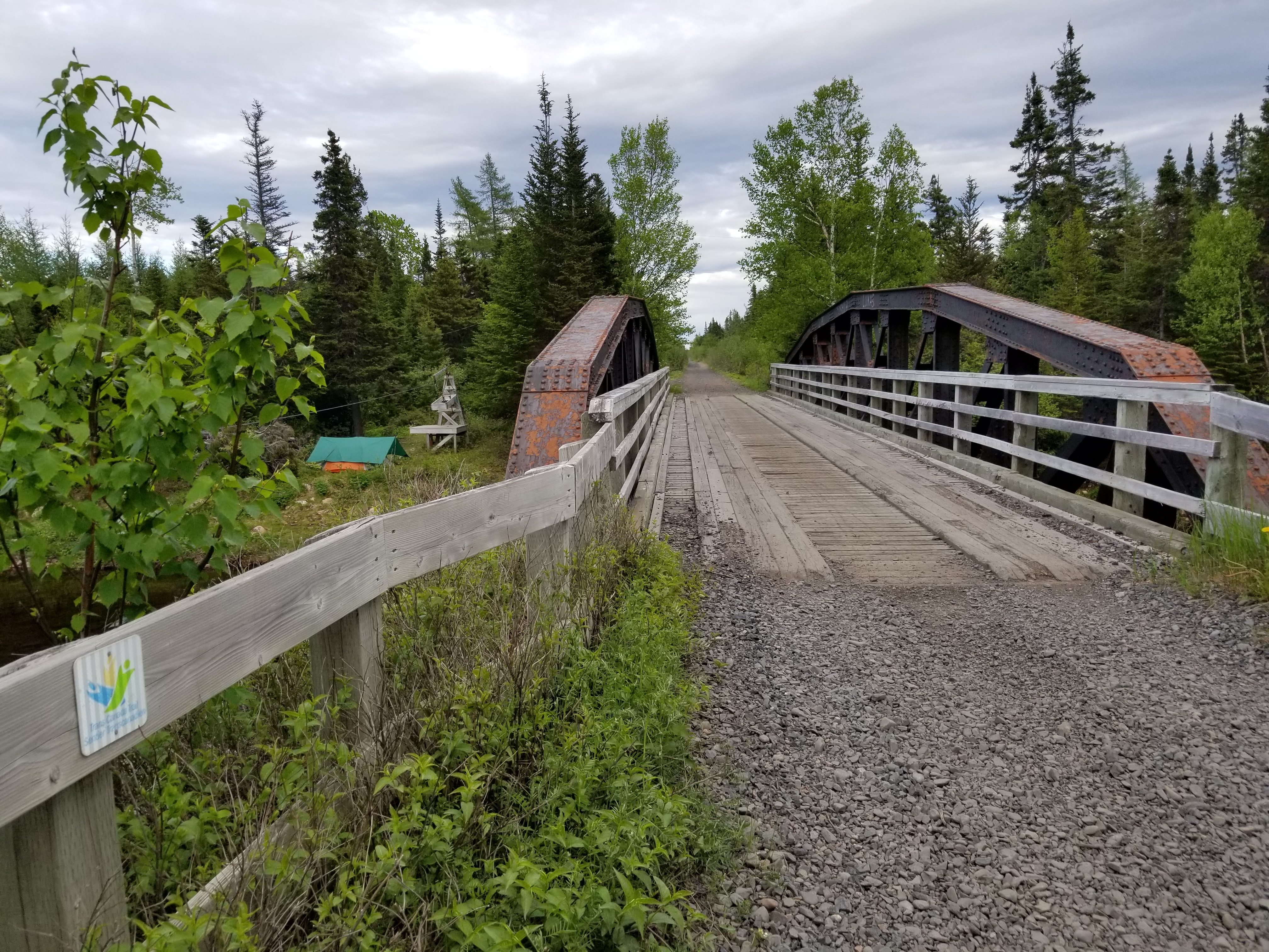
The next day we had a phenomenal wildlife day, seeing and photographing Spotted Sandpipers and Greater Yellowlegs, two shorebird species that breed in Boreal. We also had chances to photograph moose, dragonflies, tadpoles, frogs, and dragonflies. That night we found a lovely spot to camp on the edge of a river, beside a trestle bridge, and below an old cable car that used to provide the main way to cross the river.

With so many communities along this section of trail there has been quite a lot of ATV traffic. We were passed by 1-12 people a day, but the drivers have always slowed down for us, and many have stopped to chat, or passed with a smile and a wave.
One of the friendliest feeling communities we walked through was Norris Arm. This was a long thin town stretched out along the shores of a deep bay. Many people were out and about, and many stopped to chat and wish us well on our journey. Best of all, there was a convenience store located on the trail, where we were able to purchase some much appreciated resupplies.

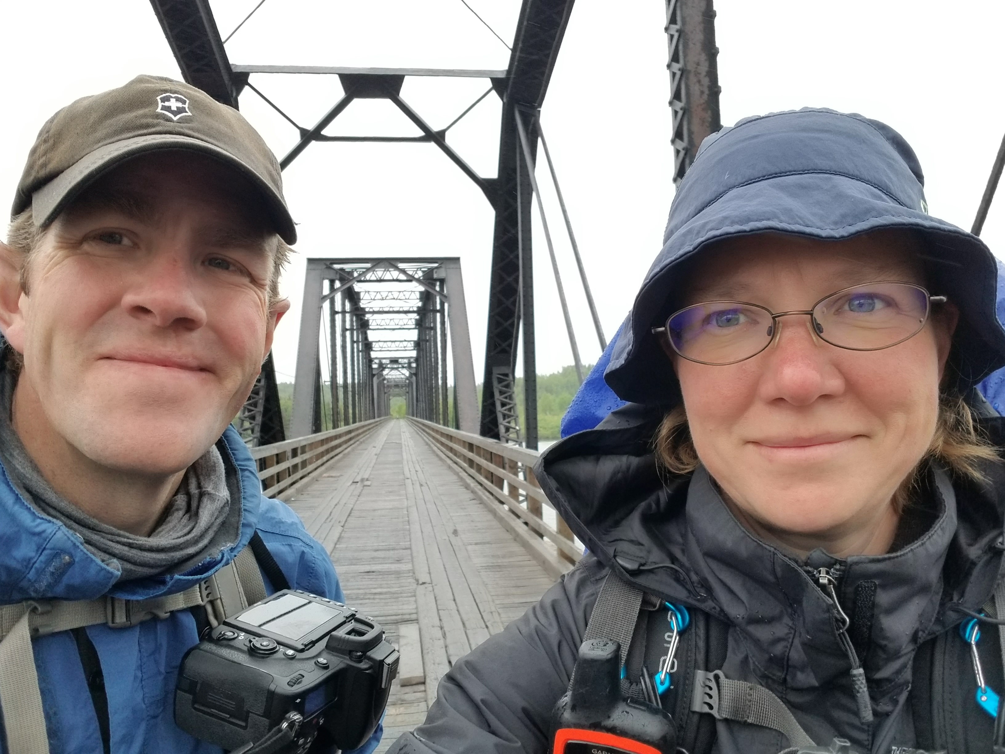
Yesterday we crossed the mighty Exploits River, which is the longest river on the island and the largest salmon river in the world. It is spanned by the longest trestle bridge in Newfoundland, which is a sight to see. From there it was about 15 km to the town of Grand Falls - Windsor, which is one of the biggest towns in Newfoundland, and which marks the halfway point of the trail for this province.

In looking back, we have two pieces of advice for anyone thinking of undertaking this hike. The first is to resupply in the larger towns, and leave with enough necessities to reach the next large town. Many of the amenities we've seen listed on Google maps are either closed permanently or not located where they show up on the map. In particular, many convenience stores are shown as being downtown, or near the trail, but in reality are located on the Trans Canada Highway, which can be 5 - 10 km away. Needs Convenience stores are pretty reliable, and have basic supplies like oatmeal, coffee, pasta, Sidekick meals, and granola bars, but otherwise it is hit and miss.
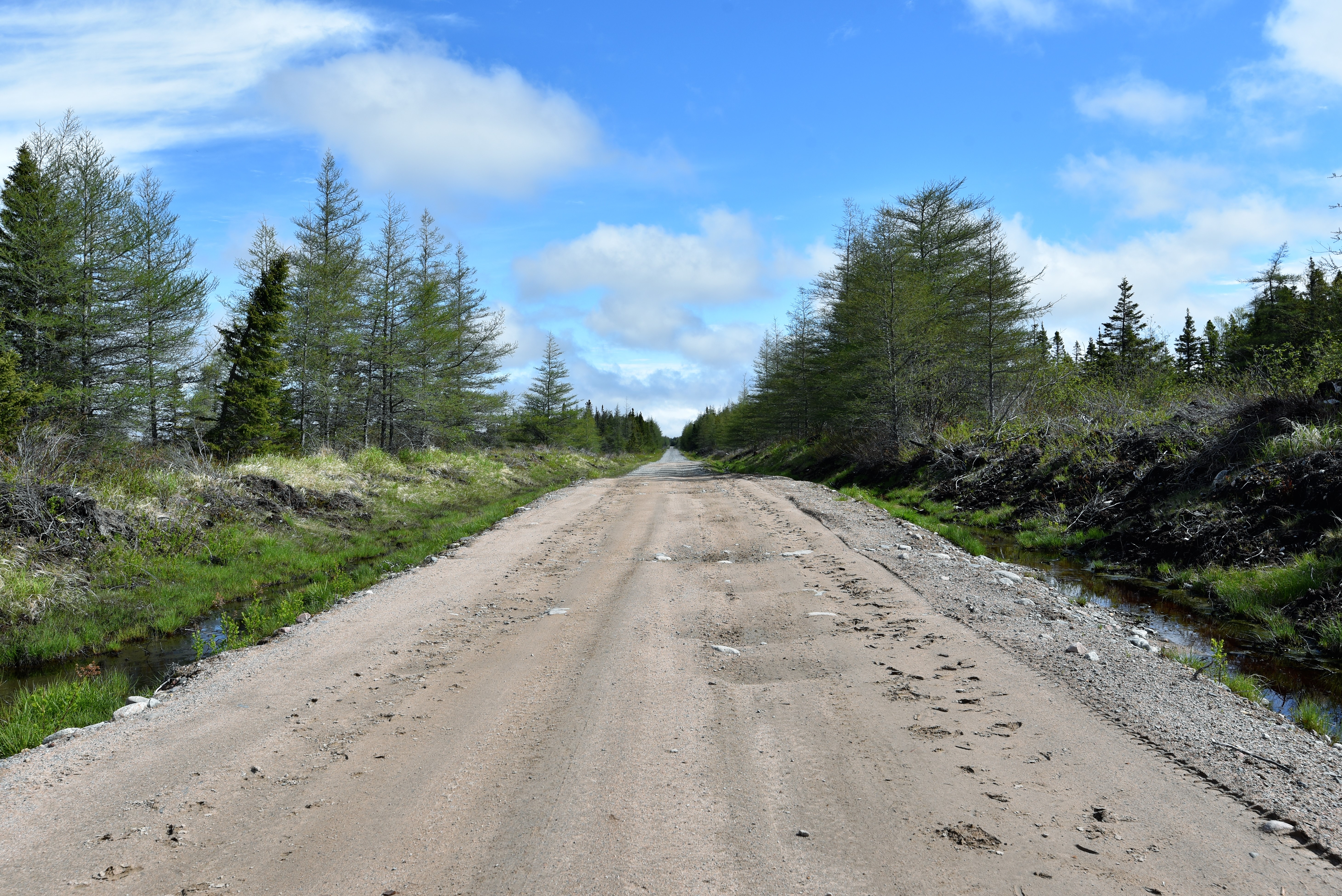
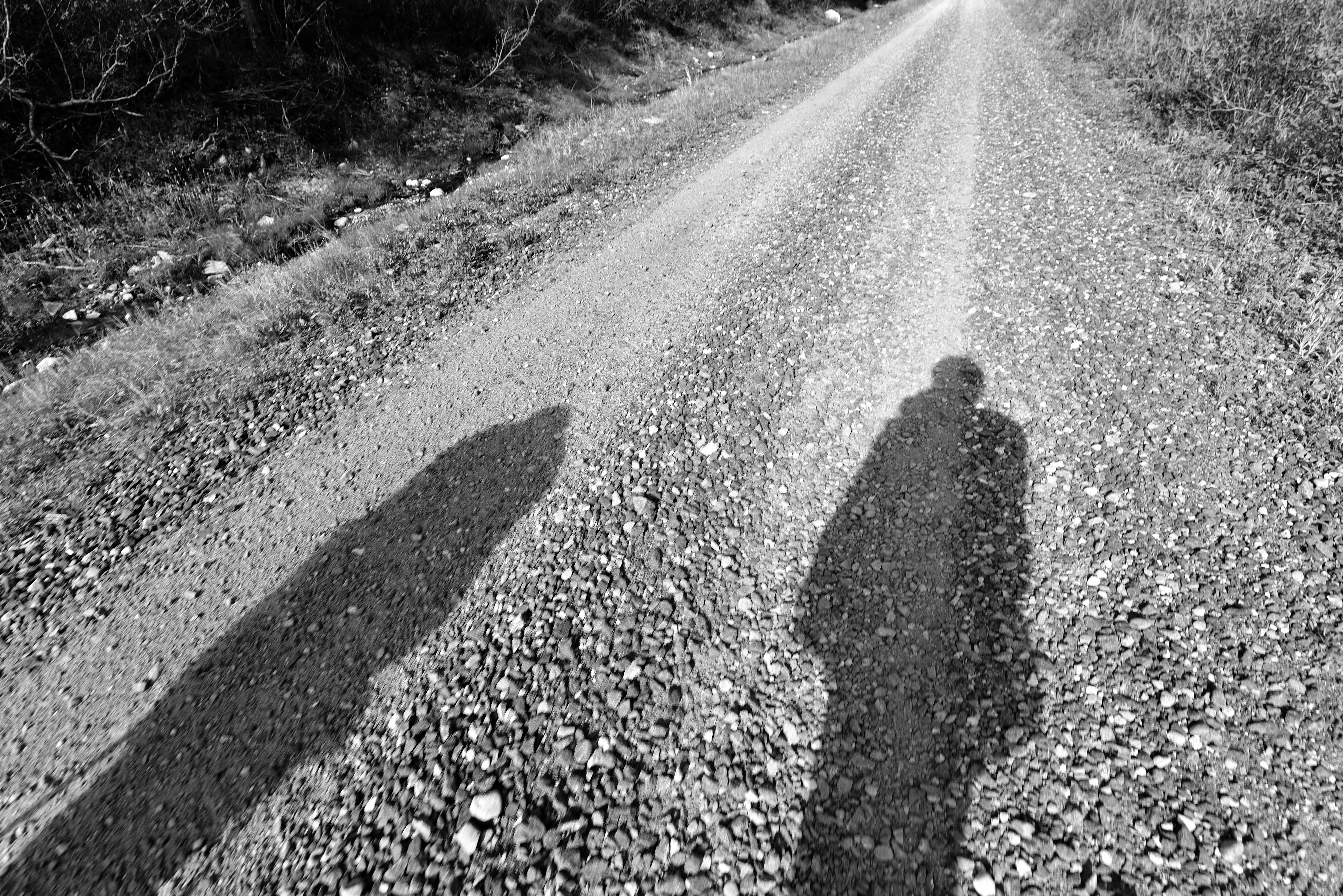
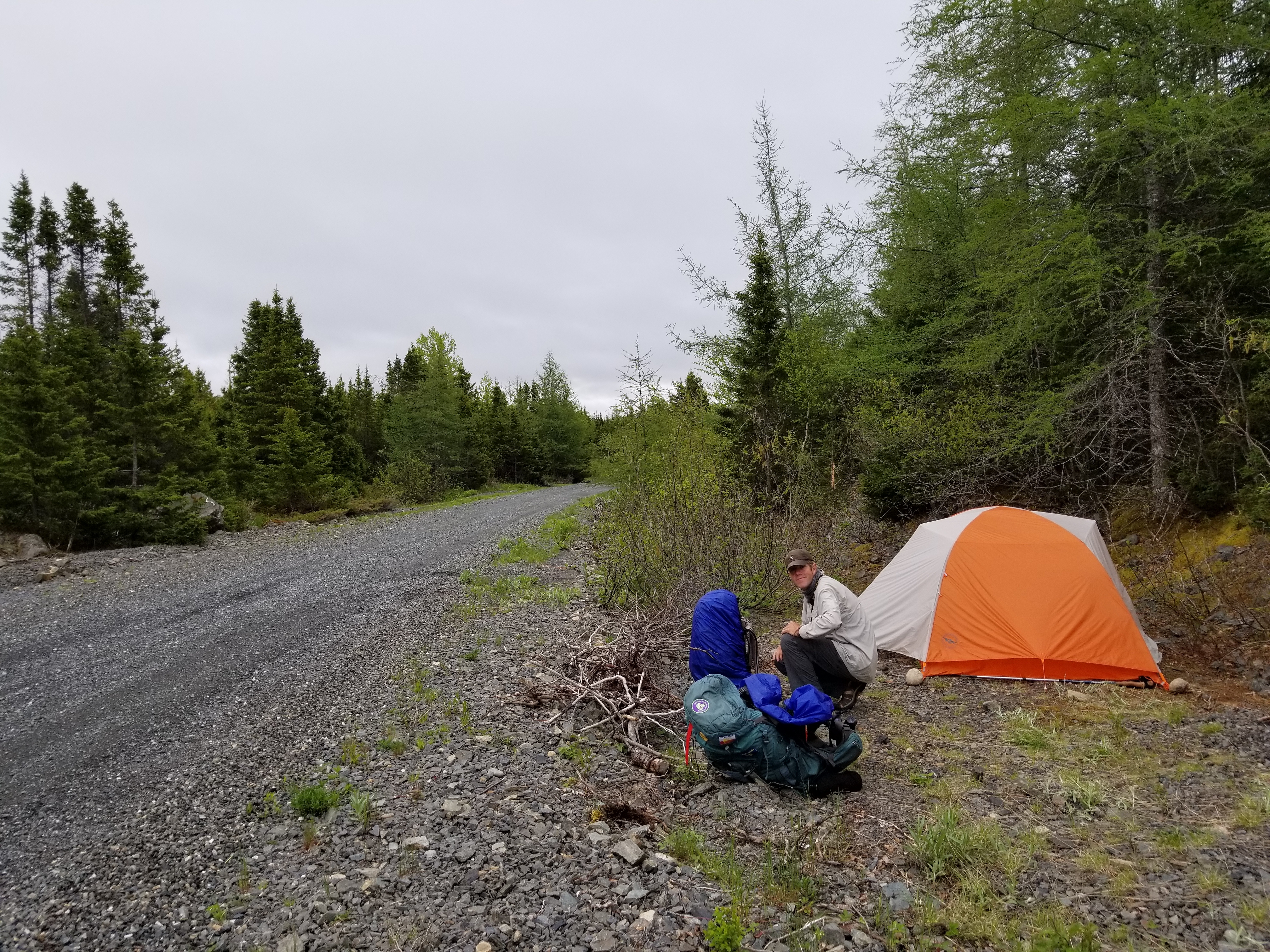
The second piece of advice is to be prepared for biting insects with a supply of insect repellent and bug nets if you are hiking in summer, and to be prepared for some tiring days of hiking on gravel. In this stretch there were many sections of trail that had been newly graded and had fresh gravel added. These are great conditions for ATVs, but hiking on the deep, sharp, gravel is painful and energy intensive as you sink and slither with every step. Apart from that, water has been plentiful, camping spots relatively easy to find, the people have been friendly and helpful, and the trail is no more challenging than what you might expect from a groomed gravel railbed.
We are looking forward to the next section of trail, which will take us through the wild, remote, Gaff Topsails. To learn more about our journey, please visit our website: www.comewalkwithus.online
For those interested in the next big challenge or a life defining hike - you might want to look at Canada's 24,000 km long Great Trail.
See you on the trail!
Remember to follow our entire adventure here : www.comewalkwithus.online
Comments
Post a Comment